v2.7.1 [May 30, 2011] You can measure the length and area on the map easily.
Program designed to minimize the Boolean functions.
It is a tool designed to get small tile map images from Microsoft VirtualEarth.
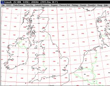
It plots a world map in either azimuth (beam heading) or Mercator projections.
Tool for downloading and exporting background image.
The Map Comparison Kit (MCK) is a software tool for the comparison.